SERVICE
Construction
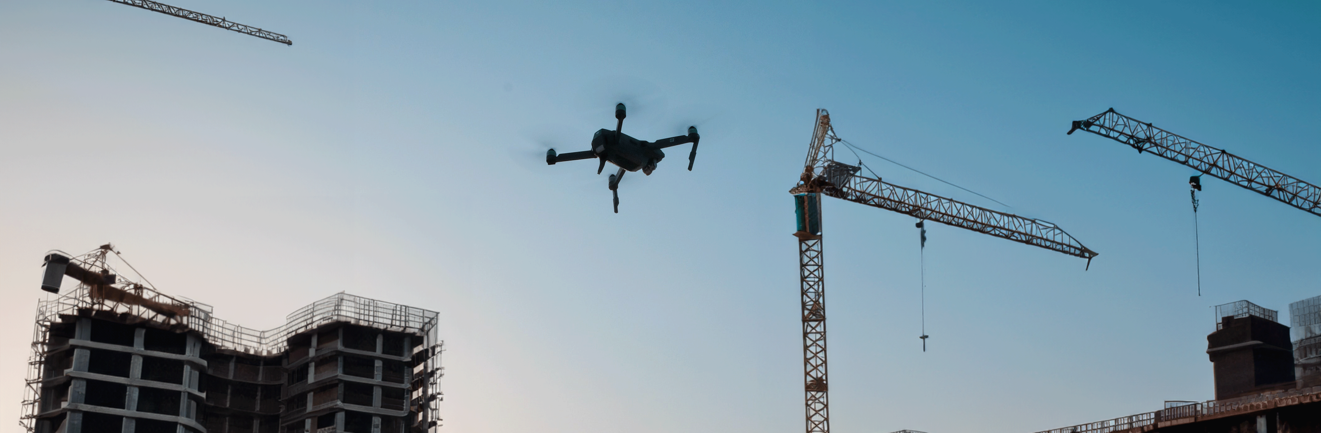
Drone Precision for Modern Construction !
Helodrone Simplifies the project monitoring!
→ 3D Site Modeling
This mapping provides precise models for planning, resource management and work optimization, ensuring overall better efficiency. 3D data allows for a comparison of "as-built" versus "as-planned."
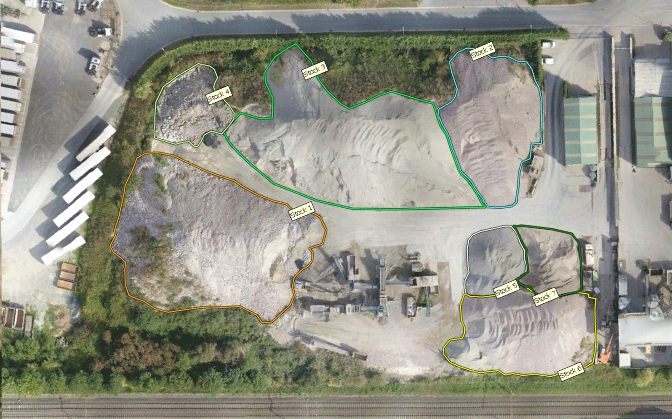
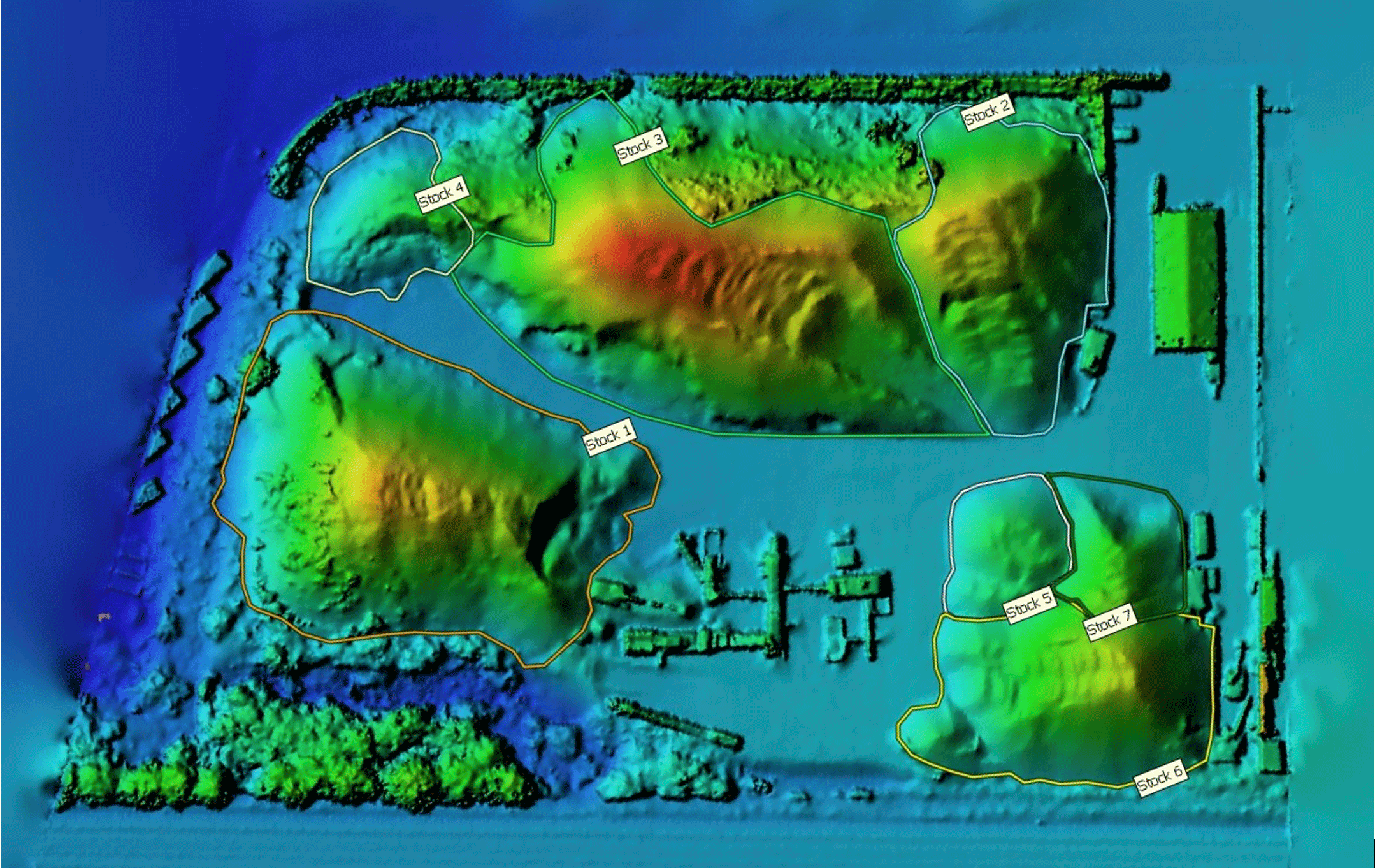
→ Volume Calculation and Stock Measurement
With our fleet of high-resolution camera-equipped drones, we also perform volume calculation. This method offers a quick, accurate, and non-intrusive solution for assessing material volumes, making it an essential tool for resource management and construction project planning on-site.
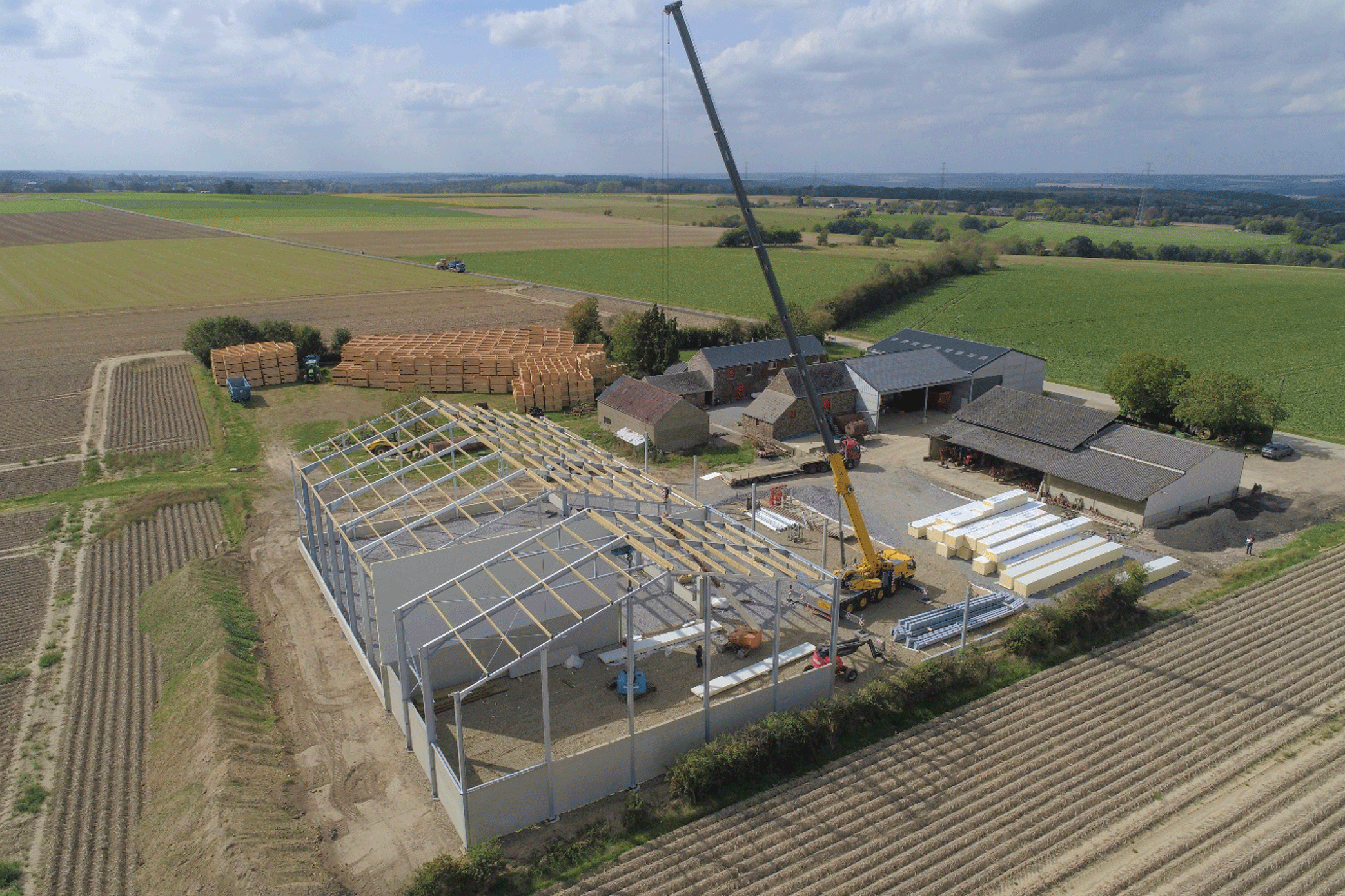
→ Site Monitoring
Drones are versatile tools for construction, providing precise aerial inspections of construction sites, enabling regular progress monitoring and early detection of potential issues.
3D Modeling
Need a 3D model of buildings, landscapes, or infrastructure for building permits, landscape integration, 3D animation, or models? Think about drones.
Through photogrammetry software, aerial images are transformed into synthetic images representing the photographed scene in three dimensions.
Our goal is to provide you with highly realistic 3D files.
Volume Calculation
For a quick and accurate check of your material stocks, think of drones. The technique is based on photogrammetry and GPS RTK precision.
Advantages of volume control by drone :
→ Speed (Coverage of large areas in a short time)
→ Safety (The drone takes the risk for you)
→ Precision (Georeferenced data – RTK)
→ Cost-effective (Reduced intervention time)
Need to calculate volumes to ensure good stock management? Contact us !

Site Monitoring
It's challenging to gauge the progress of a construction project without an overall view of the situation. Take to the skies and make your life easier with drone site monitoring. Whether for a single aerial view or regular monitoring, the drone is the ideal tool.
At the end of our mission, we'll provide you with a high-quality output, whether it's point clouds, georeferenced HD photos, orthophotos, or professional video montages.